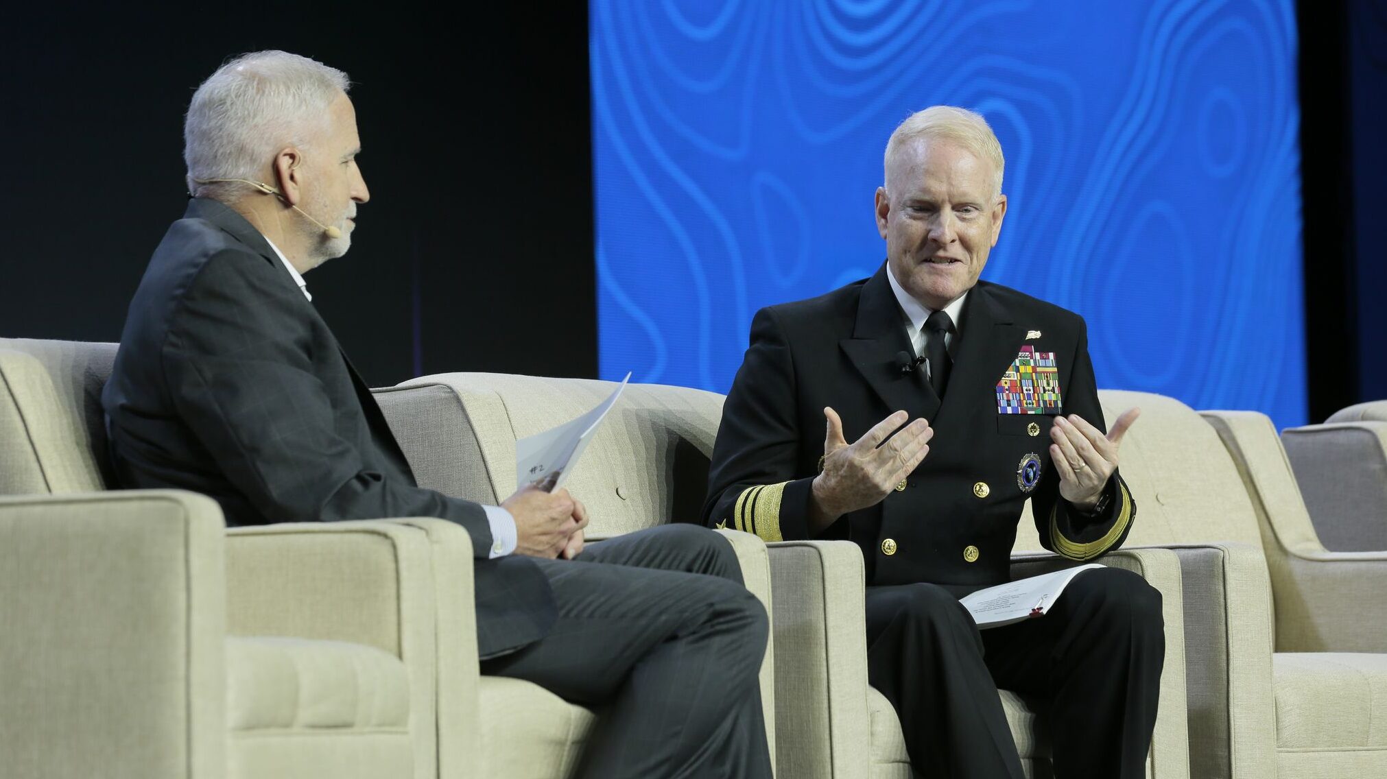
Vice Adm. Frank Whitworth (R), NGA director, speaks during the GEOINT conference. (Image courtesy of USGIF)
GEOINT 2023 — The creation of a new motto for the National Geospatial-Intelligence Agency (NGA) — “Know the world, show the way from seabed to space” — was designed to showcase the expanded breadth of its mission beyond mapping, with a heavy focus on its role in space, according to the agency’s director.
“The new version retains the spirit of the previous versions, but now it incorporates our expanding responsibilities into areas not quite as visible to ordinary citizens. So, instead of a motto that could suggest we know the landmasses, we have a motto that conveys we’re looking up, down and everywhere that our nation’s interest may be threatened,” Vice Adm. Frank Whitworth told the GEOINT 2023 conference in St. Louis Monday.
“And make no mistake, distinguishing friendly from unfriendly behavior and space has become particularly important to us,” he added.
NGA’s role as a “combat support agency” is “central to our identity, essential to combatant commanders’ warfighting readiness, and critical to national security,” he explained. And that job, known as “collection orchestration,” includes providing geospatial intelligence (GEOINT) gathered from sensors in all domains, about all domains, and getting it in a timely manner to government customers ranging from troops in the field to the president.
“Over the past year, NGA has been out in front at the tactical level on the forward edge of the battlefield, at the operational level with the combatant commands, and at the strategic level for the Pentagon and the White House,” Whitworth added, with the “highest priority” on America’s “strategic competition” with China and Russia.
Whitworth stressed that the agency discussed the space focus and the new motto with the other three DoD organizations with related space missions: the National Reconnaissance Office (NRO), US Space Command and the Space Force.
“I talked to the Chief of Space Force operations, as well as the SPACECOM commander and the director of NRO about these proposed changes to make sure that it was consistent with their vision as well. And it was,” he said. “And so, when you think about what we do, we distinguish enemy or adversarial behavior from friendly behavior, and that’s one of our chief responsibilities, and that has to apply in space. There’s not necessarily a large workforce dedicated to that outside of of NGA, and so we needed to ensure that there was a way to communicate that to our legislative branch.”
Cooperation On Space Domain Awareness
In a later briefing for reporters, Whitworth explained that NGA is working with both US Space Command and the Space Force in particular as it seeks to improve its ability to provide space domain awareness intelligence to national security users.
Currently, Space Command is the primary provider of space object tracking data to not only the US government but also allies for both military and civil uses, as well as commercial operators via the Space Surveillance Network. The Space Force is responsible for maintaining the radar and telescopes making up the network, the computer systems needed to detect and then project the whereabouts of satellites and dangerous space debris over time, and training Guardians to operate those systems.
“With Space Command, it’s pretty easy, because they’re like any other geographic combatant command — they just happen to have the largest area of responsibility. For us, it really kind of begins with them in terms of informing that combatant commander of what’s going on, and how to distinguish objects, behaviors, etc. And so we contribute to that already,” Whitworth said.
The relationship with the Space Force is a bit more complicated, since the service is new, he said. One area of growth could potentially include putting more Guardians to work at NGA.
“We’re still kind of building this spaceship in flight, I’ll say as opposed to airplane in flight,” he said. “And so I’ve asked the team to explore whether we have the right number of Space Force billets on our own team. I sense that this year will be a year of definition as to our official relationship with the US Space Force. I want to be in a place where this teaming is effective from the get go, not something that we kind of lapse into in two or three years.”
Frank Avilla, NGA’s acting director for commercial operations, said that one way the agency is already working with the Space Force on space domain awareness issues is via the service’s first-time contribution to the biannual Joint Commercial Constellations Report. The service contributed information on world-wide commercial capabilities for keeping eyes on the heavens, he said during a panel discussion here. That report is expected to come out in early June.
He added that NGA also is working with the Space Force to “ensure that we are collaborating at what market sectors we have an interest in … and, depending on the solutions that they’re buying, ensure that they are buying it in a way that we can leverage those solutions.”
 Lunar Ambitions
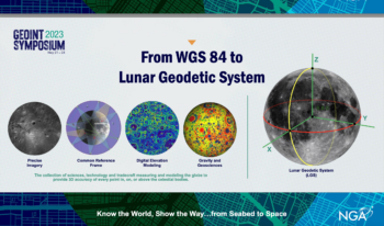
Another arena of cooperation, Whitworth said, is the embryonic cross-agency effort to build a “lunar reference model,” similar to the World Geodetic System 1984 (WGS 84) for the Earth. That model is based on a set of constants and parameters that describe the Earth’s size, shape, and gravity and geomagnetic fields, and serves as a foundation for precise positioning, navigation and timing technologies.
“Today, we’re working with NASA, the US Geological Survey, the US Space Force and US Space Command to develop the lunar geodetic system that will guide future visitors around the Moon surface as accurately and as safely as GPS does on Earth,” he told the GEOINT conference.
Space Force and SPACECOM leaders over the past several years have been fretting about China’s ambitions for lunar exploitation, and have pushed the need for better capabilities in cislunar space between the Earth and the Moon to keep eyeballs on those activities.
James Griffith, NGA director of source and operations management, explained to reporters that currently no such models exist.
“We are still doing the science to try to understand — and not just NGA, we’re working … with many of our colleagues across the scientific community — to understand how do you build this reference frame and then how do you make it a repeatable process?” he said.
The model would be publicly available, and could be used by the US military, but also by civilian agencies and commercial operators around the world,
“It really is to allow everyone to enable and know where they are in the critical pieces that we can all agree, whether we’re on Earth or Moon, we are in this place. And that’s really what the purpose is,” Griffith said.


